
Littleton Previous Residents by Era
An address history is a set of dated clues. A deed records a transaction, a tax roll records assessment, a directory records a name at a place, and a census records a household at an enumeration date. None is a complete resident list. Label each result as a title event, occupancy clue, business use, or map context.
| Source | Years It Covers | Where Held | What It Shows |
|---|---|---|---|
| Assessor/GIS parcel records | Current and dated results | Arapahoe County parcel/map systems | AIN/PIN, situs, parcel and jurisdiction context |
| Arapahoe PublicSearch deed index | 1980-present name indexing | Clerk and Recorder online index | Recorded parties, instrument type, date, and legal description |
| Legacy deed books | Kofile range: 1860-1902 | Kofile QuickLink, then Clerk confirmation | Older party and book, volume, and page leads |
| Littleton city directories | 1905, 1932, 1939, selected later years | City survey, Bemis, State Archives, Denver Public Library | Names, addresses, business or ownership clues |
| Sanborn map and building survey | 1893 map and dated survey entries | Library of Congress and Littleton historic resources | Footprints, uses, streets, blocks, and building context |
| Newspaper and local indexes | Courier 1900-1909; other series vary | Digitized newspaper, Columbine, Bemis, and Museum channels | Dated events, obituary, cemetery, church, and mortuary clues |
| Federal census | 1950 public release under the 72-year rule | National Archives and 1950 Census | Household lines, enumeration context, and images |
For a recent chain, save the parcel identifier first and move to the recorder. For a historic house, directories, maps, census schedules, and local indexes may supply the first clue.
Note: A source date marks the record's reach, not necessarily the date an occupant moved in or an owner acquired title.
Littleton Resident Records Start with a Map
Jurisdiction comes before names. A Littleton mailing label can sit outside the incorporated city and point to Arapahoe, Jefferson, or Douglas County context. Run the Littleton Address Wizard with the original street spelling, direction, type, unit, and ZIP before choosing a recorder or assessor path. If it returns Jefferson or Douglas, follow that county's recorder and assessor instead.
Compare the same address in Arapahoe GIS Location Info. It accepts an address without city, state, or ZIP, or a Parcel ID/PIN. The assessor search separates Number, Range from/to, Street Name, and Unit; street name needs at least three characters. An AIN or PIN is the county parcel identifier and the stable bridge between maps, tax fields, deeds, and historic sources. Assessor questions can also go to 303-795-4600 or assessor@arapahoegov.com, with the office at 5334 S Prince St.
Address → jurisdiction → parcel ID → map context → deed search. The assessor can show a parcel and tax context, while GIS can show boundaries, streets, districts, aerials, and measurement tools. Neither one proves occupancy or supplies the full title chain. For the present address-keyed workflow, use the Littleton by-street directory when the question shifts from one house's past to the current street.
Littleton Deed Records for Past Residents
A deed chain starts with a verified parcel and works backward through conveyances. The assessor's owner field is a tax record, not a finding that the named party lived there. Use the parcel's AIN/PIN, legal description, subdivision, and known date to narrow the record trail. Arapahoe PublicSearch is the main real-property index for recorded instruments. A result may involve an individual, entity, trustee, lender, lien claimant, or representative, so read the document type and party role before calling it a past resident clue.
- Anchor the parcel. Pull the current parcel result from the assessor or GIS system. Save the AIN/PIN, situs address, legal description when displayed, subdivision, and the date of the result.
- Find the purchase instrument. Search the current tax-record party in PublicSearch with a name, subdivision, document type, or date range. Record the reception or document number, recorded date, grantor, grantee, legal description, and book/page or image field shown.
- Turn the seller into the next search. The seller in that purchase is the prior grantor. Search that party as a grantee in an earlier transaction, then compare the legal description and date before accepting the match.
- Bridge changes in the land. Check plats, subdivision names, parcel splits, and address conversions. A later parcel number or street label may not match the wording in an older instrument.
- Move past the online name boundary. When the deed predates the county's name-index route, use a reception number or Book/Page, consult the legacy book index, and ask the Clerk and Recorder to confirm the reference.
Key deed terms. These terms keep a title trail from being mistaken for a list of people who lived at the house.
- Grantor / grantee
- The grantor conveys an interest or right; the grantee receives it. A named party can still be a lender, trustee, entity, or claimant rather than an occupant.
- Chain of title
- The linked sequence of recorded interests and conveyances tied to a parcel. It tracks title events, not every household.
- Legal description
- The formal land description used in an instrument. It can identify the land when a street name, number, or parcel label has changed.
Littleton Pre-1979 Deed Records
The key insider tip is the county's split between name-indexed and older deed research. Arapahoe's guidance describes Grantor/Grantee name searching from 1980-present. For pre-1979 work, start with a reception number, Book/Page, legal description, transfer-book clue, or address conversion, then ask the Recording Division how to reach the older book.
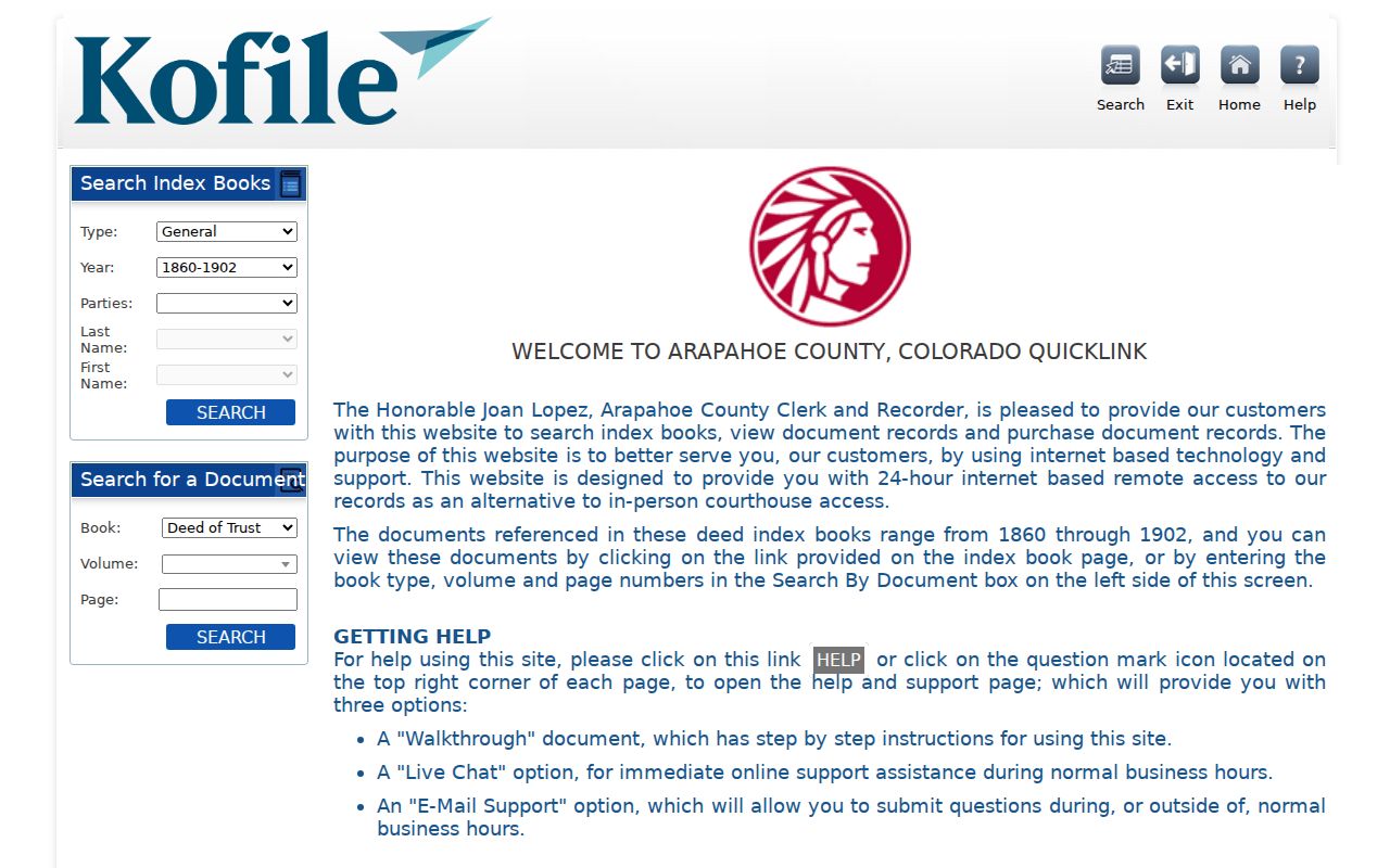
Kofile QuickLink visibly includes Arapahoe Deed Index Books from 1860-1902, with type, year, party, name, and book, volume, and page fields. It is a lead for early property history, not a complete name index or certified result.
The Arapahoe legacy deed index shows the older book, year, party, and page route that can follow a pre-1979 reference.
Confirm every older hit with the Arapahoe County Clerk and Recorder. The Recording Division accepts in-person work, mail, red drop boxes, approved eRecording, phone questions, and weekday appointments. The current guidance lists 8:00 a.m. to 4:00 p.m. branches from January 1, 2026; the Littleton branch is at 5334 S Prince St, and recording questions can go to recording@arapahoegov.com.
A free GovOS account is required for PublicSearch digital access. Watermarked downloads are free; no-watermark copies are listed at $0.25 per page, and certified copies add $1 per document plus $0.25 per page. A county-held supporting record can go through NextRequest or a Colorado Open Records Act (CORA) request, but CORA does not replace the deed index.
Note: A Kofile hit supplies a route to an older reference, not proof that the indexed party lived at the property.
Littleton Past Residents and 1961 Addresses
Old address searches can fail for a simple reason: the number changed. Littleton's citywide building survey documents a 1961 Denver metropolitan grid conversion in which 144 N Lincoln Ave became 5652 S Spotswood St. A search for only the modern number can miss a directory entry, deed reference, or newspaper clue that used the old form.
Search both numbers, the old and new street names, the block, and nearby landmarks. Compare the 1961 directory cross-reference with the historic survey, then use the current parcel and legal description to test the match. Some addresses remain absent even after conversion. That absence is a prompt to widen the date or source set, not proof that the house or its previous residents were never recorded.
The same care applies to a dated business clue. A directory or survey may show a storefront, a boarder, or a mailing address. It can establish that a name was associated with a place at a certain time, but it cannot by itself convert that association into title or continuous residence.
Littleton Directories and Past Households
Directories supply the household layer that deeds cannot. The Littleton citywide historic survey identifies Winterbourne's Littleton City Directory from 1905, the XL Directory of Western Arapahoe County from 1932, and Denver Suburban Directories Section E from 1939. The 1905 volume is the earliest located directory with specific street addresses, and later selected runs extend into 1985. The collection shelf itself is described in the Littleton city directory collections reference.
The 1932 volume is especially useful for early ownership clues, but it still needs confirmation in transfer books or recorder records. Directory coverage has gaps in the 1910s, 1920s, and early 1940s. Rural addresses may not appear, and an entry can describe a business, boarder, or mailing address instead of a household owner. Record the exact edition, printed spelling, occupation or business label, address, telephone when present, and any “r” or “h” mark only after checking that edition's legend.
Research flow: directory year → name variant and address → matching census year → enumeration district → household lines → parcel and deed check. An enumeration district is the area assigned to a census taker. Pairing the sources this way keeps a directory clue from standing in for a complete household record.
The National Archives census research guide explains the federal release framework used when pairing a directory year with a public census year.
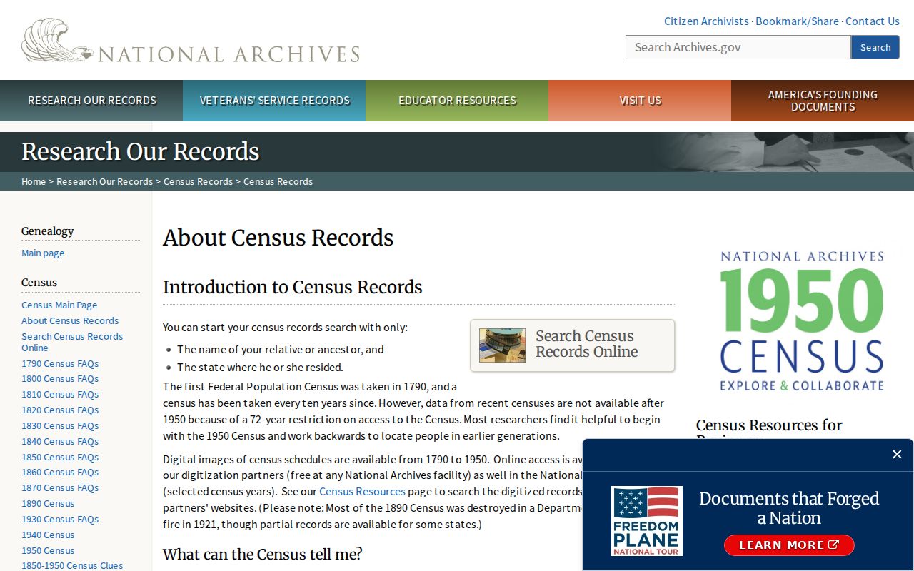
The guide belongs beside the local sources, not in place of them. A census household, a directory entry, and a deed can describe different dates and different roles for the same address.
Note: A census household and a directory entry can differ because they use different dates, names, and collection rules.
Littleton Previous Residents in 1950
The 1950 Census is the latest publicly released federal census under the National Archives' 72-year release rule. Its household schedule can anchor a Littleton address history at one census moment, but it is not a title record and it does not fill every directory gap. Use the exact address, old and new street forms, name variants, and the likely enumeration district together. If a directory points to a household but the census search does not, check the spelling, block, and census geography before discarding the clue.
The official 1950 Census search provides the public search and image path for that census year.
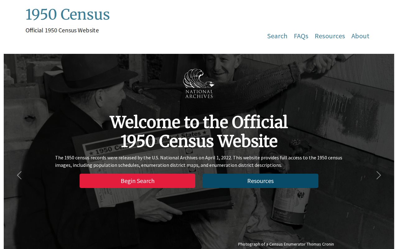
Read the image as a dated household snapshot. Then compare it with the nearest Littleton directory and the parcel or deed trail. The result may show that a person was present in a household without showing how the person related to the title, and a title party may not appear in the household at all.
Littleton Records Can Mislead
A tax owner, deed party, or directory entry is not automatically a current resident. The tax roll preserves the party used for assessment. A deed can name a grantor, grantee, trustee, lender, or lien claimant. A directory can list a business, boarder, spouse, household member, or mailing address. These roles are useful, but they answer different questions.
Use a two-source check before placing a person in a past household timeline. Match the exact printed name and address, compare the prior and next available editions, inspect the legal description or parcel context, and mark the result as an occupancy clue or title event. A building survey can date a use. A Sanborn map can show a structure. Neither one supplies a complete list of residents. This distinction is the practical myth check that keeps an appealing name match from becoming an unsupported conclusion.
Littleton Life-Event Record Clues
When a directory or deed trail gives a name but not a full household story, local indexes can add a dated event. The Littleton Independent began as the Littleton Gazette in 1888, yet the obituary index is partial. The digitized Littleton Courier covers 1900-1909 and 4,279 pages. A newspaper hit should be cited by issue date and page when available, not treated as a complete address directory.
The Littleton obituary index points to newspaper material and identifies microfilm at the Littleton Historical Museum, Denver Public Library, and History Colorado. Its listed runs include 1970-1973 and scattered entries from 1895-1923. Bemis librarians can supply copies through the Society's stated $20 copy or research fee route, with current terms to be confirmed.
- Cemetery: the Littleton Cemetery index covers interments from 1869-1981 and reports 8,202 records, including block, lot, grave, relatives, and plot-owner fields.
- Mortuary: Nickels-Hill-Drinkwine books cover 1915-1950, seven books were microfilmed in 1976, and the index contains more than 2,000 names.
- Church: Littleton Methodist records cover 1894-1985, St. Paul 1870-1919, St. Timothy 1951-1983, and First Presbyterian 1883-1982.
These sources have different rules and gaps. A surname index may identify an event without exposing the full record, later cemetery entries may be incomplete, and an obituary index is only a pointer. Request the citation and inspect the original or archive when a clue matters.
Note: Local indexes narrow a date and name search, but they do not turn partial coverage into a complete list of previous residents.
Littleton House-History Gaps
A careful Littleton house history leaves room for missing pages and uneven series. Directory gaps affect the 1910s, 1920s, and early 1940s; early sources can lack street numbers, and rural addresses may disappear from city volumes. No complete public image of a Littleton directory page was located, so Bemis, the city survey, archives, and in-person research remain important.
When an online trail stops, use the fallback that fits the record. Bemis can point to local books, microforms, vertical files, and genealogy materials. Library copy or interlibrary-loan routes, archive email or mail requests, and in-person reading or reference service can bridge a missing digitized page. The Museum, Columbine Society, Denver Public Library, History Colorado, and State Archives can supply indexes, microfilm, or finding aids. The Clerk and Recorder can address older deed references, while a narrow CORA request can name the custodian, record, date range, parcel, and format.
No official source reviewed documents a single courthouse disaster or a wholesale loss of Littleton county records. A missing online image is not evidence that the underlying record was destroyed. Preserve the date, channel, search terms, and response for each dead end, then separate a true record gap from an address conversion, an access restriction, or an incomplete index.
The 1893 Littleton Sanborn map can add building footprints, street names, block context, and use symbols to a house-history packet. It does not name every occupant or prove title. That distinction is the right ending for a lawful trail through Littleton previous residents.
Lawful house history. Previous-resident research in Littleton is suited to family history, genealogy, estate work, and personal curiosity. Do not use a name or address trail to stalk, harass, track, or harm a living person, and leave records that are missing or redacted that way.