
Littleton Block Sources for Neighbors
A useful Littleton neighbors search begins with a verified address and asks what each official layer can establish. Arapahoe GIS supplies geometry and map context. The assessor and tax systems identify a parcel and tax-maintained fields. Voter data has public-list limits, while community sources describe an association or mapped zone rather than every household. Treat each source as a separate answer, then record the check date and returned jurisdiction.
| Source | What It Shows About a Block | Access |
|---|---|---|
| ArapaMAP parcel viewer | Parcel shapes, streets, aerials, districts, measurements, and print context | Public map |
| Assessor and tax search | Parcel identifiers, situs, tax-maintained owner fields, values, and tax detail | Online portals |
| City neighborhood map | A mapped zone or neighborhood label tied to the city map | ArcGIS app |
| HOA information sources | Association contacts, questionnaire responses, and informational dashboard material | City hub |
| Historic maps and directories | Dated building use, street context, and past household clues | Bemis, Museum, archives, or digitized collections |
A parcel owner is not automatically a current occupant, and a mapped neighborhood is not a legal subdivision. Public sources can describe a block without naming everyone who lives there. Keep owner, voter, association, and historical roles separate.
From One Address to Adjacent Parcels
Use the Littleton Address Wizard first. A mailing city can reach outside the incorporated city and across Arapahoe, Jefferson, or Douglas County, so the returned jurisdiction matters. Then use Arapahoe GIS Location Info or the relevant county system. The goal is geometry, not a personal dossier.
- Save the original street line, unit, ZIP, city result, county, and parcel ID.
- Open Location Info or ArapaMAP and locate the parcel.
- Inspect the adjoining parcel polygons, street edges, district overlays, and measurement tools.
- Compare the parcel identifier with the assessor and tax portals, noting the situs and assessment year.
- Stop at the block boundary; move to the Littleton by-street records chain only when the question concerns a whole named street.
Location Info uses a representative interior point for district results. A large or multipart parcel can cross a boundary, and an address can have more than one assessor record. Confirm an unexpected result with the county custodian before assigning a neighbor, school, district, or city label.
Reading ArapaMAP Around Littleton
The Arapahoe GIS hub describes ArapaMAP as a public viewer with parcel, aerial, street, district, tax, sales, measurement, locate, redline, and print tools. The parcel layer is the core of a Littleton neighbors lookup. Aerial imagery can show the block form, but it does not prove title, occupancy, or a private relationship between two households.
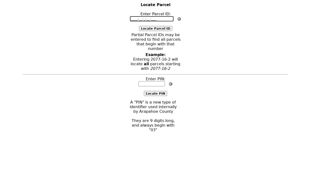
The parcel-number locator accepts a full or partial AIN/PIN. Use the identifier from the assessor rather than matching only a street label. Record the map date, layer name, and any centroid warning. A map screenshot should display parcel geometry or street context without adding a private mailing address to a public profile.
The Arapahoe parcel locator shows the address-keyed starting point for a block map.
Littleton Neighborhood Zones
The city-linked neighborhood map uses a dynamic ArcGIS Zone Lookup app. It can add a broad community label to the block, but the label is not automatically a legal subdivision, recorded covenant, or proof that every nearby address belongs to one association. Preserve the source wording and map date.
The urban-forestry material names areas such as Centennial, Downtown, Goddard, Heritage, Ketring Park, Northeast Littleton, South, Southwest, Sterne Park, and Trailmark. More specific labels include Coventry, Sunset Heights, The Hamlet at Columbine, Oakbrook, Riverwalk, Southbridge, Meadowbrook, Kensington Ridge, and Southpark. These source-labeled geographies help explain place, but they should not be used to infer a private neighbor’s identity.
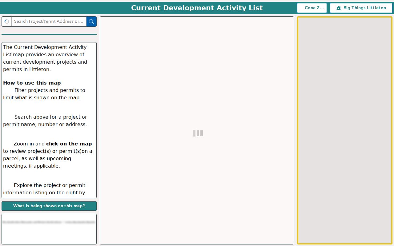
The city development ArcGIS experience illustrates the type of mapped context that can surround a parcel.
HOA Information Around a Block
Littleton’s Homeowners Associations page links informational meetings, a questionnaire, the Colorado DORA HOA Information Center, the Secretary of State business search, and an ArcGIS dashboard. Those channels can help identify an association contact or source label. They do not certify that a parcel belongs to an association or replace recorded covenant research.
City HOA hub
Association information, dashboard links, and the city-linked questionnaire.
Questionnaire
Public intake for association information. Confirm the current form and scope.
State context
DORA and the Secretary of State can add organizational context to a named association.
The city-linked HOA questionnaire is an information channel for association context.
ZIP and County Edges for Neighbors
USPS Littleton is broader than the incorporated city. The city’s ZIP table says 80120 is fully within city limits, while 80121, 80122, 80123, 80127, and 80128 are partial. Other listed ZIPs are outside the city, and the postal footprint reaches Jefferson and Douglas County contexts. A ZIP or post-office name can help route a search, but it cannot decide which parcel or court custodian controls the record.
Join five labels before drawing a block: USPS delivery place, city GIS result, county, parcel ID, and record-specific custodian. If one result points to another city, preserve it rather than silently rewriting it as Littleton. That simple comparison prevents a postal neighbor from becoming a false municipal neighbor.
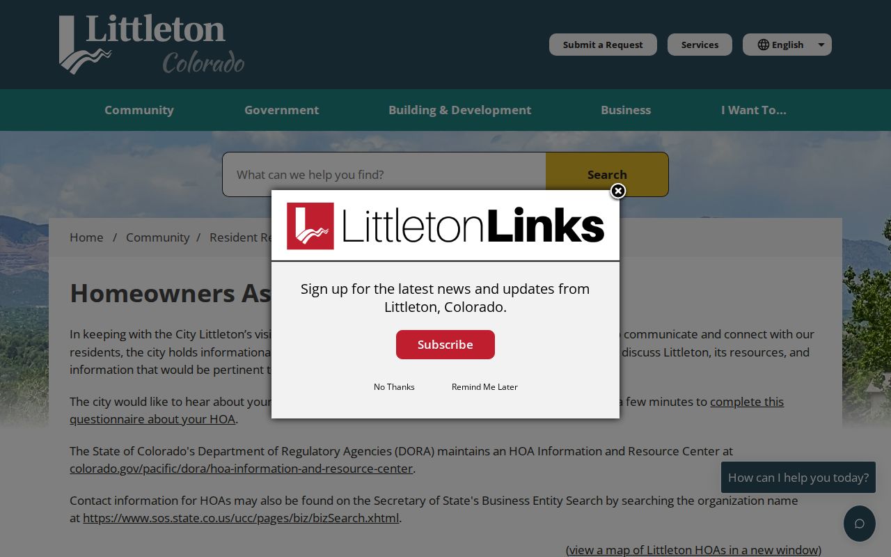
The city’s homeowner-resource hub shows how community information sits beside, rather than inside, parcel records.
Published Projects Near a Parcel
The city’s 2026 Development Activity List is a rebuilt ArcGIS application with address or project search, category and status filters, parcel clicks, related documents, and neighborhood-meeting information. It can show a public project layer near a block. The city says the list is not comprehensive and publication depends on staff discretion, so an absent project is not proof that no activity exists.
For current permit and development status, public eTRAKiT search can use a permit number or address, while applications and uploads may require an account. Archived permits may need a City Clerk request. A narrow request should name the address or parcel, record type, date range, and desired status or document field. This keeps development research tied to the city custodian instead of turning a neighbor lookup into speculation.
Historic Neighbors Without Modern Names
For an older block, the 1893 Littleton Sanborn map can show building footprints, street names, business uses, and block context. The citywide historic survey and dated directories add building or business clues. A directory entry can represent an occupant clue, owner clue, business, boarder, or mailing address. It is not a continuous record of every neighbor.
The 1961 metropolitan grid conversion is a key warning. The survey’s example changes 144 N Lincoln Ave to 5652 S Spotswood St. Search both forms, the block, nearby landmarks, and the survey cross-reference before deciding that a historic neighbor disappeared. The full street chain belongs on the Littleton by-street page; the block view should stay spatial and dated.
Official Rolls and Neighbor Tools
Official sources have a named custodian, a stated scope, and a date or access rule. Commercial neighbor tools may combine licensed data, public filings, inferred links, or stale addresses. They can be faster, but a result may hide the source role and cannot replace Arapahoe GIS, the assessor, the city map, or a custodian’s response.
| Question | Best official layer | What still needs care |
|---|---|---|
| Which lots touch the block? | GIS parcel geometry | Centroids and multipart parcels can mislead. |
| Who is tied to tax fields? | Assessor or tax search | Tax role does not establish occupancy. |
| Which community label appears? | City zone or HOA source | Informational labels are not covenants. |
| What changed in the past? | Survey, map, directory, or archive | Coverage is dated and incomplete. |
Requesting a Littleton Block Record
Some block questions need a custodian rather than another map. A city request can name an address, project or permit number, date range, and desired status or document field. Littleton’s policy describes inspection at the City Clerk and electronic responses, with a possible extension, deposit, page charge, or research fee. The city does not have to create a new analysis from scattered systems.
For county material, identify the parcel ID or AIN/PIN and the office that keeps the record. The Assessor owns parcel and tax fields, the Clerk and Recorder owns instruments, Elections owns public election products, and the Sheriff owns its own records. Arapahoe NextRequest is a county intake route, not a replacement for PublicSearch or the parcel viewer. Ask for a narrow date range and electronic copy or inspection first.
Keep the request about the block or record set. Do not ask an office to assemble a dossier about named neighbors, and do not treat a refusal, redaction, or no result as proof that no person is present.
Privacy Boundaries for Littleton Neighbors
Public records do not supply a complete list of household members, renters, visitors, utility customers, delivery recipients, or protected residents. Colorado’s Address Confidentiality Program and voter protections can hide or substitute an address. The Colorado Privacy Act does not create a general right to obtain another person’s public-record data. Court, vital, juvenile, sealed, and law-enforcement limits remain in force.
Lawful use. Use Littleton neighbors sources for block history, civic research, reconnecting, or personal safety awareness. Do not use a parcel, voter, map, or association record to stalk, harass, intimidate, or harm anyone.
If an address record is missing, ask the custodian for the narrow record, date range, parcel or address, and desired format. Arapahoe’s public-record route cannot force an office to create a new dossier, and a CORA request cannot override a protected record. Keep the result precise: “no result in the searched source on the checked date.”